Have I mentioned that mountain
weather changes rapidly? If not, you should know that mountain weather changes
rapidly. In addition to doing things like closing Skyline Drive in 13 minutes, today I saw
firsthand some more results of the strange confluences of moisture and strong
winds that occur in places like this. And once again, nature did its best to
foil my plans. But today I was not about to be defeated.

Almost immediately, the wildlife
made their presence known, as a herd of whitetail deer were grazing in one of
the many meadows in the area. I always like seeing whitetail deer because I can
identify them. There were no whitetail deer west of the Rockies
this summer, so the best description of those deer that I could offer was
“there goes another not-whitetail deer.”

As I continued on, more deer
appeared, some even having antlers. This is a step in the right direction
towards proving the existence of moose, since now I’ve proven the existence of
moose-like headgear, but still no moose sightings. In fact, if I had seen a
moose this far south I would have believed it was planted there on purpose just
to mess with me.

Anyway, aside from deer there
were a few groups of wild turkeys, which looked nothing like the wild turkeys
we have up north. These were full-on Thanksgiving table 18-pound gobblers, not
the overgrown pheasants I’m used to. If one of these had stepped in front of
me, I would have gotten out of its way and apologized for inconveniencing it.
Perhaps the only inhabitant of Cades Cove that might have been more
intimidating would have been a black bear, but I didn’t see any of them today.
Halfway through my loop around
the cove, some very strange clouds began to roll in. They had this wavy
lenticular thing going on, probably because of the mountains’ influence, but
they were also definitely rain clouds. Their presence gave the valley a whole
different kind of mood lighting, causing me to redo about half of the loop
road, to see how the conditions had changed in the interim. The only real
change, though, was that it was pouring rain by the time I finished.


Thankfully, that didn’t last, and
I was on to see some waterfalls. The first 2 on my list required a combined
hike of about 5 feet – from the driver’s seat to the passenger side of the car,
and this was only because the waterfalls were on the right side of the road,
instead of the left. Both were pleasant enough and certainly broke up the
monotony of making that 45-minute drive back down Little River Road.


Another effect (I think that’s
the right word. I always mix up effect and affect) of the montane conditions
around here is that GPS units like Copina Jr.
get royally confused. She informed me that I, on several occasions, was driving
through a river, or had suddenly jumped several miles out of the park, only to
just as quickly jump back in. But the weirdest thing she’s ever done came this
morning while I was driving through the Little River, and I apparently broke
the all time land speed record:

Wouldn’t you think that at 271
mph there should be something in the software that senses that perhaps
something has gone awry? There was another time this morning when I broke 161
and yet another when I was doing 96.5 in a 35 mph zone. But I knew a ranger
wouldn’t stop me, because as Copina
Jr. told me, I was
driving right through a forest, thus making me very difficult to chase.
Then it was on to the real
aqueous star of the day – Laurel
Falls. I didn’t remember
why this one stood out among all the park’s waterfalls, but it probably had
something to do with the fact that it was on a road that was open year-round
and it was a manageable hike to get there (only 2.4 miles round trip).

Well, those manageable hikes have
had a way of coming unhinged this week. When I started this one, I couldn’t see
the sky because of the thick forest canopy, so I couldn’t tell if there was a
storm a-brewin’, but I knew the rain from Cades Cove earlier had to have passed
by now. So I wasn’t worried. For the first half of the trail, my biggest
concern was how steep the darn thing was. I’m starting to think that the
elevation gained figures at all these trailheads are intentionally
underreported so people are more willing to try these things. This one said it
only gained 300 feet, but it definitely felt like more than that.


By the time I reached the falls,
it was, once again, pouring. I was glad I’d opted to wear my waterproof
adventure hat, which also served as a great head-umbrella. Unfortunately, it
wasn’t wide enough to keep the rest of me and my stuff dry. I only stayed at
the falls for long enough to get what looked at first glance like a few decent
pictures, then I headed back down to get out of the rain (isn’t that a nursery
school song?). By the time I got back,
the only things I had been able to keep dry were my phone, camera, and
feet (these waterproof hiking boots work much better when desert sand isn’t
working its way through every pore in the fabric).
After cranking the hear in the
car and hanging up my jacket and hat to dry (maybe by the time I get home
they’ll be ready), I had to decide what to do next. I certainly wasn’t going to
try out a 5-mile hike to another waterfall, as interesting as it looked in the
pictures I’d seen. I figured that this storm would pass soon (after all,
mountain weather changes rapidly), and then if I was able to get to a high
enough elevation, I might be able to see one of those classic views of
low-hanging clouds or mist rising from between distant mountain ridges. So it
was back to Newfound Gap, the highest place around. Unfortunately, these clouds
were too high so it really just looked overcast.


Now I was really out of ideas and
it was only 2:00. After driving to a few of the overlooks on the North Carolina
side of the park with no more luck than at the gap, I was looking at the park
newsletter and noticed a suggestion that Look Rock had some good views. I knew
Look Rock from my days last month checking its webcam to see if there was any
snow in the range (there wasn’t). Besides, how could a place called “Look Rock”
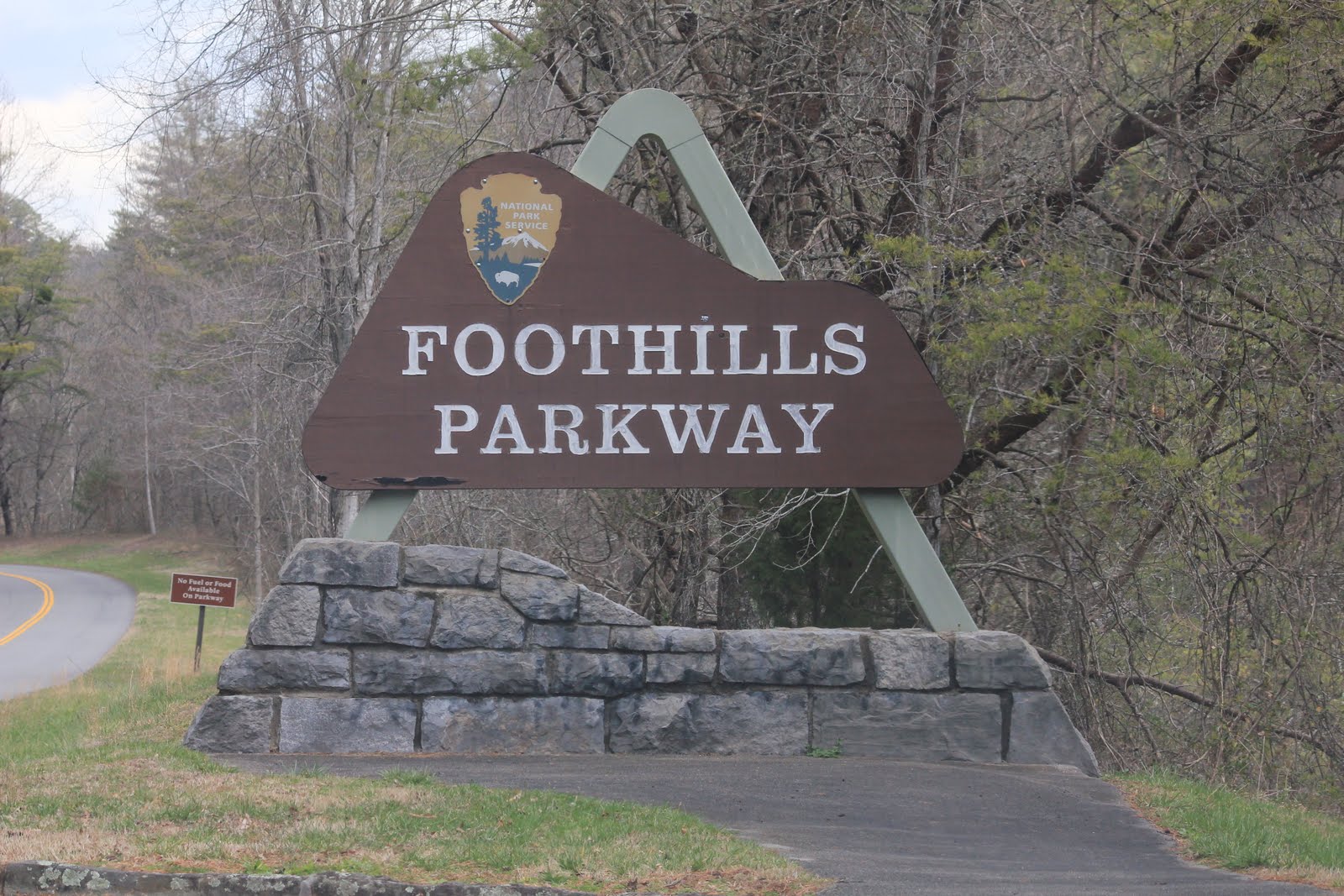
not have a great view of something? So I decided to drive the 50 miles
northwest to the Foothills Parkway
(little brother of the Blue Ridge
Parkway perhaps?) to see what I could see.
As soon as I got onto the Parkway
I knew this had been a good idea. Following a ridgeline of hills on the
outskirts of the Smokies, you can look south and see the highest mountains east
of the Mississippi or you can look north and
see the Tennessee Valley, Knoxville, and
the Cumberland mountains, which I assume must
be far away. Plus, it’s landscaped and laid out much like the Blue Ridge
Parkway, and is designed to be a pleasant drive.
After taking in all of the
overlooks along the road, I headed up the half-mile trail to the Look Rock
observation tower. Of course, the moment I stepped off the road and onto the
trail, it began raining again. But this time I was wearing a raincoat and was
just flat-out pissed that the weather would try to screw with me again. Since I
was the only one on the trail (and the only one driving the Parkway, as far as
I could tell), I didn’t hold back in terms of language or volume when
expressing my displeasure with this ironic turn of events.
This time, though, the rain
subsided quickly and I scaled the ramps to the observation tower. But the
weather was not done with me yet. Standing at the peak of the highest hill on
this ridge, the tower is completely exposed to the wind, and the gusts here were
some of the strongest I’d ever experienced. More than once I was worried that
my camera would get ripped out of my hand. I had to basically tie my hat onto
my head or keep a hand on it constantly, lest it end up like my Florida Marlins
hat, lost forever at the log flume at Great Adventure.
The observation tower offers a
full 360-degree view, and I had half-intentionally ended up there as the sun
was setting (there might have been a strategic turkey sandwich beforehand to
kill some time and get me there for sunset). With the clouds from the
piss-Greg-off storm rolling away to the east and a fresh batch of thunderstorms
driving in from the west, things were shaping up for a pretty epic sunset. The
sun dipped behind a cloud, casting rays of light in all directions. Just before
it could emerge below, the thunderclouds caught up to it and blocked it from
lighting up the clouds a la Bryce
Canyon last summer. I
knew the show was over, but at least I could go back down the trail before it
was completely dark. Nevertheless, I have a feeling I got at least a couple of
pictures that I can turn into something good:


So here I sit, back in
Dollywoodland, with the contents of my backpack laid out to dry like a crime
scene on one of the beds. Tomorrow is the Blue Ridge Parkway’s chance at
redemption, as I head back to the Land of the Virgin Queen, where Shenandoah
gets its shot at redemption on Friday. The park’s already tweeted (there’s
something I bet you never thought you’d hear) that Skyline Drive is completely open,
throwing in a “WOO HOO!!” for good measure, so my chance of success there seems
pretty high. In the meantime, it’s time to bid adios to the land of the blue
smoke and begin the return journey.
No comments:
Post a Comment